

Directions: From the roundabout at Barnsley, turn south into Wakefield Road. After 800m, turn right to Killingworth and follow “The Broadway” for 2.3km. Turn right onto “The Boulevarde” (O Signs begin) and follow towards West Wallsend. Parking will be on the sides of the gravel road. Please park as close to side as possible take care when crossing the road.
OR From West Wallsend follow Carrington Street and Railway Street to the Sugar Valley Golf Course, (O Signs begin) and continue on following gravel road towards Killingworth.
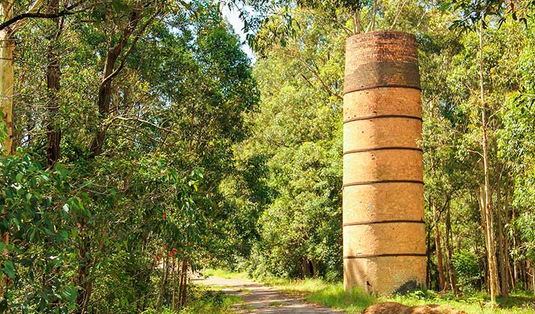
Terrain: Generally undulating with one steep section with some rock detail. There are a few spur and gully sections, and complex track networks throughout the map. Vegetation is variable from highly runnable to very thick, while visibility is generally good. Full body cover is recommended due to patches of thick and/or spiky growth.
HUNTER VALLEY CHAMPIONSHIPS
Apologies for the misinformation about a map change for the hard long. It was included in error much to Denis's frustration.
BBQ and Presentations: There will be a BBQ from 12:30 with presentations for the winners to take place at 1:15pm. THere will also be lucky 'door' prizes drawn randomly from entries (you must be present to collect - control collectors are excempt and may pick up their prize on return). Note: In the event of rain the BBQ and presentations will be postponed to the club Bush presentation event.
Directions: Adjacent to Twelve Mile Creek rest centre, north of Raymond Terrace. Travel north on the Pacific Highway for (approx.) 15.5 KM from the roundabout at the northern end of Heatherbrae. 1.75 KM north of the Italia Rd. junction, turn left and then, after 30metres, turn right. Follow this (poorly) sealed road for 1.5 KM to parking and assembly.
Looking for something to do for Dad to do on Fathers Day? Orienteering has you covered - the Annual Fathers Day minor event! The NOY may be over but that wont stop us orienteering. Stay tuned for a very special event (maybe 2) coming up to cap off the season. (Spoiler: for one of these events this might be the only time we ever get to use the map! - not to be missed)
Directions: From the western edge of West Wallsend, head west on O’Donnelltown Rd. Just after crossing the bridge over the M1 motorway look for parking, where safe beside the tar sealed section of the road.
Map: Fairley Dams 1:10000
LOCATION: Quorrobolong Road, Kitchener